Tracking Potential Tropical Cyclone Five: Updates and Precautions for Gulf Coast Residents
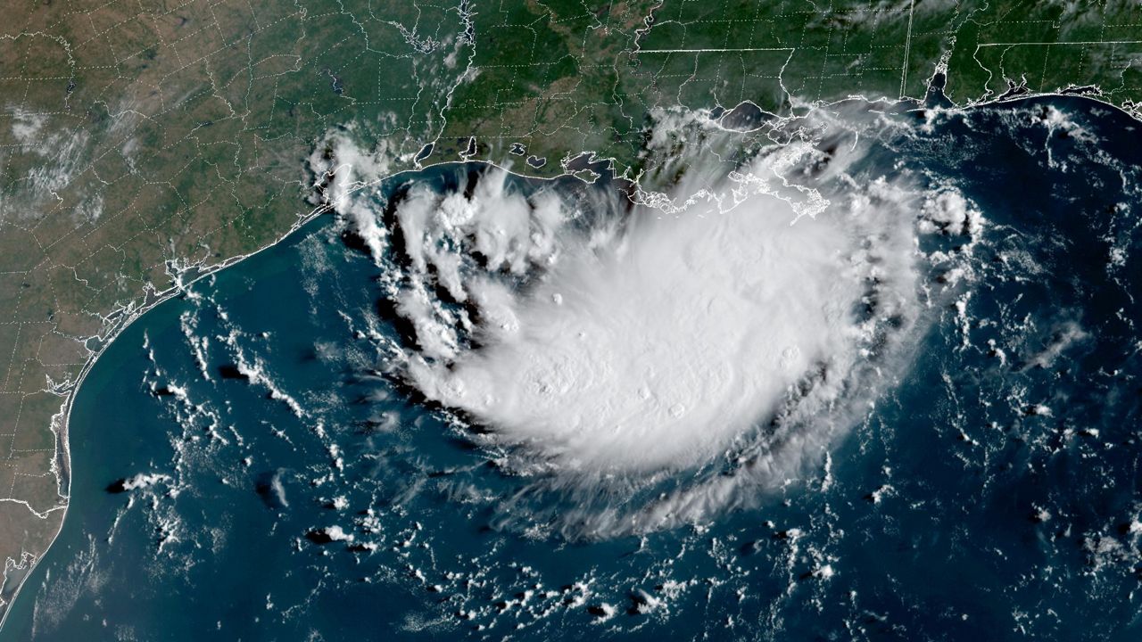
A new tropical cyclone, Potential Tropical Cyclone Five, has developed in the northern Gulf region and is anticipated to be named Edouard later today. The storm is currently moving west-northwest at a slow pace of 5 mph, with maximum sustained winds of 35 mph. Positioned just south of the Louisiana coast, PTC 5 is projected to make landfall along the Texas coast on Tuesday afternoon.
The cone of uncertainty illustrates the potential locations of the storm's center, providing a range of possible paths. It is crucial for individuals residing near or outside the cone to remain vigilant and prepare for the storm's impact. Spaghetti models, which display various computer forecast models on a single map, offer insights into the storm's potential trajectory but do not address other critical factors such as intensity, winds, and flooding risks.
Tropical Storm warnings have been issued for the coastal areas of Texas and Louisiana in anticipation of PTC 5's arrival. The storm is expected to bring moderate to heavy rainfall to eastern Texas and southwestern Louisiana, prompting residents to stay informed and take necessary precautions. Our team of meteorologists is dedicated to analyzing weather data and providing timely updates to ensure public safety during severe weather events.
In conclusion, Potential Tropical Cyclone Five poses a potential threat to the Gulf region, with landfall expected along the Texas coast. Residents in the affected areas are advised to stay informed, heed official warnings, and prepare for possible impacts from the storm. Stay tuned for further updates and guidance from our meteorological experts as the situation evolves.