Los Angeles County Braces for Heavy Rainfall and Potential Flooding: Weather Alert and Evacuation Warnings Issued
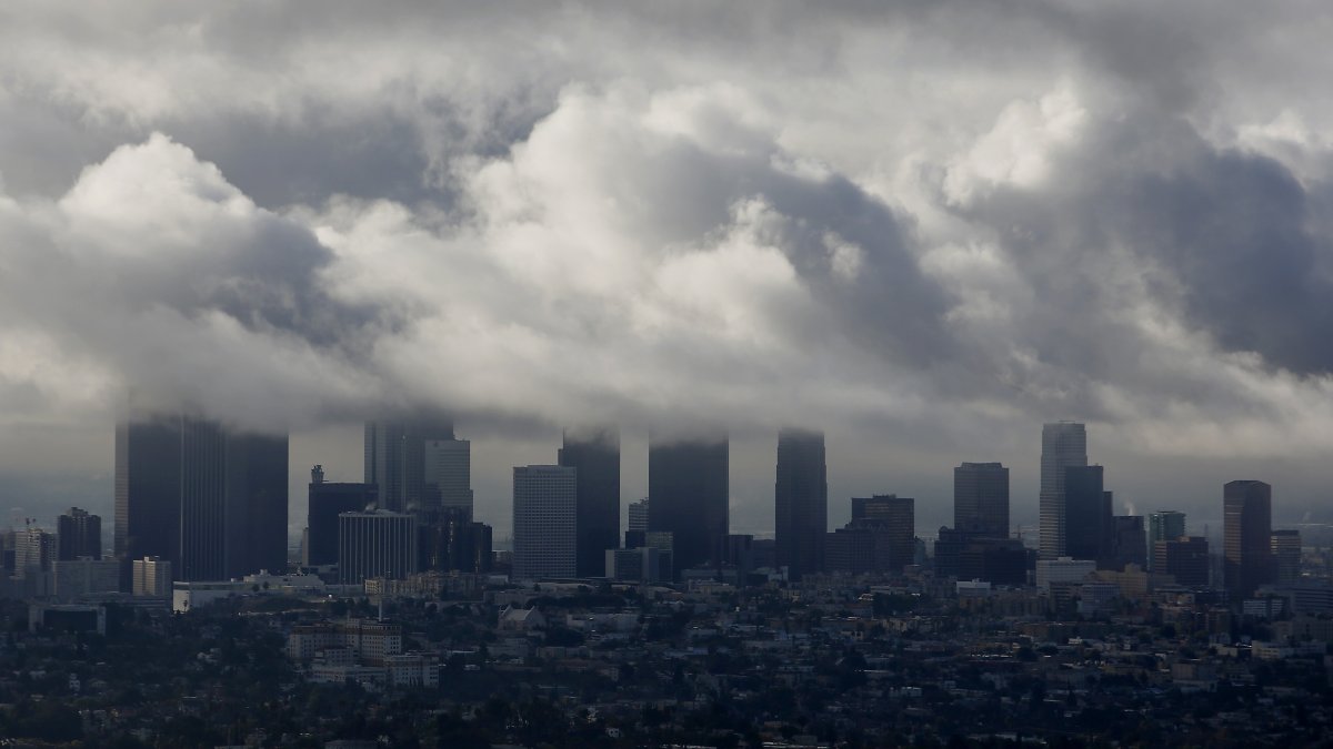
Los Angeles County is bracing for heavy rainfall in the upcoming week, prompting flood watches and evacuation warnings. The flood watch covers a wide area of the county, particularly areas near steep terrain where rock and mud slides are possible. Additionally, evacuation warnings have been issued for properties near recent wildfire burn areas due to the risk of debris and mud flows. The affected fire zones include Canyon, Bethany, Eaton, Palisades, Kenneth, Sunset, Lidia, Hurst, Franklin, and Bridge.
The weather forecast indicates that Monday will be the most active day, with the heaviest rainfall expected. Coastal and valley areas could see 1 to 3 inches of rain, while the mountains may receive 2 to 5 inches by late Monday. Rainfall intensity is expected to decrease Monday night into Tuesday, but scattered showers may persist as colder air moves in. Snow levels are projected to drop from around 6,500 feet to near 5,000 feet by Tuesday.
A second storm system is anticipated to arrive on Tuesday night, bringing colder temperatures and the potential for more rain and mountain snow. An additional 1.5 to 3 inches of rain is likely on Tuesday and Wednesday, with the mountains possibly receiving 3 to 6 inches in total. Temperatures will also drop, with highs in the mid-50s and overnight lows in the 40s for most areas, dropping into the 30s in the mountains, Santa Clarita Valley, and the high desert from Tuesday to Friday.
Stay informed and prepared for changing weather conditions as the week progresses.