Tracking Hurricane Erin: Category 4 Storm Intensifies in the Atlantic
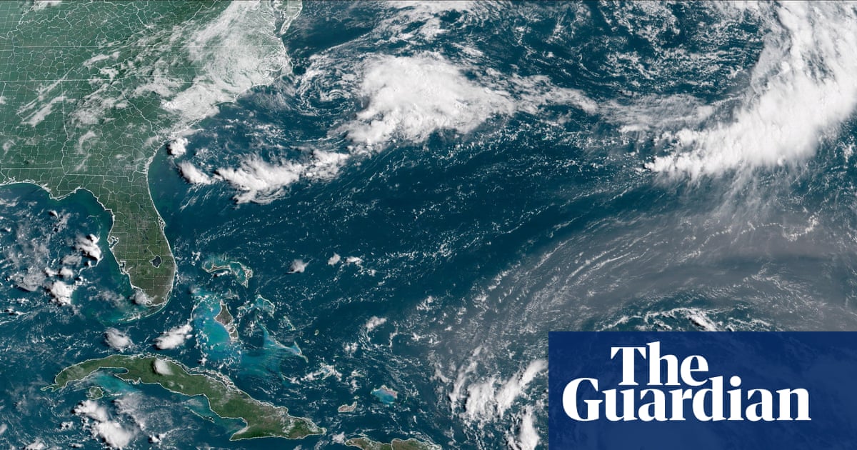
Hurricane Erin has rapidly intensified into a powerful category 4 storm as it moves across the Atlantic Ocean, skirting past islands in the north-east Caribbean. The National Hurricane Center (NHC) in Miami has indicated that Erin is not expected to make landfall in the US and is likely to veer away. However, there are concerns about the potential impact of strong winds and heavy rainfall, which could lead to flooding and landslides on nearby islands.
The NHC has projected that Erin could further strengthen and potentially reach category 5 hurricane status. Currently located 150 miles north-east of Anguilla, the storm is packing maximum sustained winds of 145mph. It is moving west-north-west at a speed of 20mph and is anticipated to pass close to the Leeward Islands, bringing significant rainfall ranging from 2-6 inches in the heaviest downpours.
As Erin's outer rain bands begin to affect some islands, additional rainfall is expected in the coming days. The NHC has issued warnings about the impact of swells generated by the storm on various regions, including the northern Leeward Islands, the Virgin Islands, Puerto Rico, Hispaniola, and the Turks and Caicos Islands. These swells are forecasted to extend to the Bahamas, Bermuda, and the east coast of the US, leading to rough ocean conditions and potentially life-threatening rip currents.
Over the past 24 hours, Erin's wind speeds have more than doubled, escalating from a 70mph tropical storm to a formidable 145mph category 4 hurricane. Tropical storm watches have been issued for the northern Leeward Islands, including St Martin, St Barts, Anguilla, and Barbuda, with rainy conditions expected in these areas over the next 48 hours. Erin marks the first major Atlantic hurricane of the 2025 season and is projected to intensify further as it traverses over warmer-than-average ocean temperatures.
The NHC anticipates that Erin will undergo rapid intensification, potentially doubling or tripling in size by the middle of the following week. This expansion is likely to result in rough ocean conditions across the western Atlantic. The frequency of such rapid intensification events is increasing as global temperatures continue to rise due to climate change.
In conclusion, Hurricane Erin's progression into a powerful category 4 storm poses significant risks to islands in the north-east Caribbean and surrounding regions. While the storm is not expected to make landfall in the US, the potential for severe weather conditions, including strong winds, heavy rainfall, and rough ocean conditions, underscores the importance of preparedness and vigilance in the face of natural disasters.