Tracking Tropical Storm Erin: Potential Hurricane Threat to Northeast Caribbean and Beyond
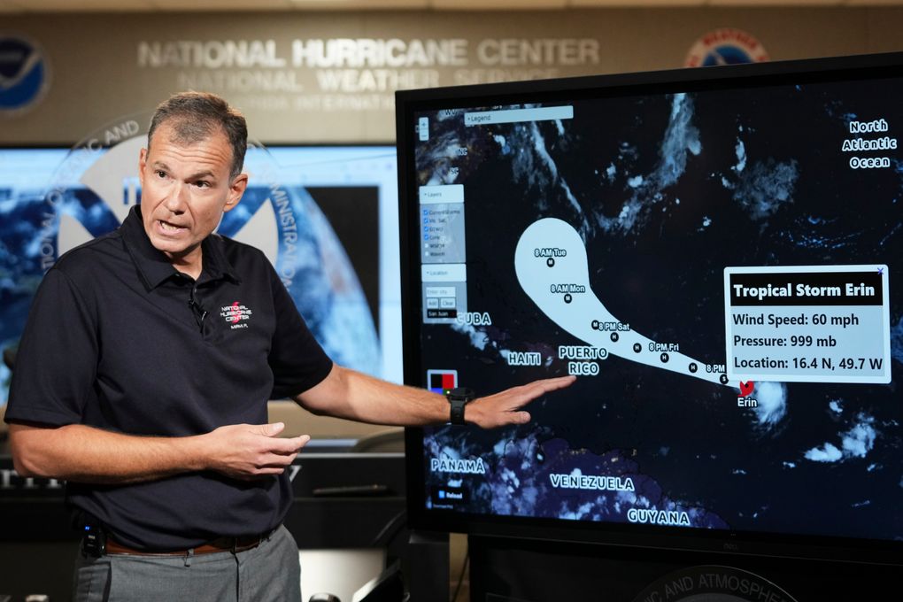
Tropical Storm Erin is anticipated to intensify into a hurricane as it approaches the northeast Caribbean, potentially causing flooding and landslides. The storm is projected to stay over open waters, with tropical storm watches issued for several islands in the region. Heavy rainfall is expected in Antigua and Barbuda, the U.S. and British Virgin Islands, and parts of Puerto Rico, with up to 6 inches of rain in some areas. Additionally, dangerous swells are a concern.
Currently located east of the Northern Leeward Islands, Erin has sustained winds of 70 mph and is moving west-northwest. The storm is predicted to make a sharp northeast turn, potentially passing between the U.S. and Bermuda. While the storm is expected to become a major Category 3 hurricane, its exact impact on the Bahamas, the U.S. East Coast, and Bermuda remains uncertain. Dangerous surf and rip currents are expected along the U.S. East Coast next week, with significant waves potentially causing beach erosion in North Carolina.
Accuweather's lead hurricane expert forecasts Erin to strengthen into a powerful Category 4 hurricane as it traverses warm waters in the Atlantic. This year's Atlantic hurricane season is predicted to be active, with six to 10 hurricanes expected, including three to five major hurricanes. Stay updated on the latest developments and follow safety precautions as the storm progresses.